Years: We have historical Duke Forest GIS layers covering 1931, 1944, 1952, 1963, 1975, and 1986.
Layers: Each year includes layers for
-
- Cultural Operations
- Disturbances
- Harvestings
- Plantations, and
- Standings.
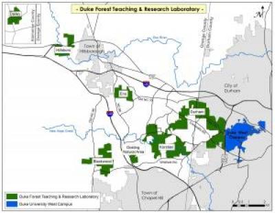
Beginning with 1944, the Standings are also broken into the various divisions of the Forest that existed for that year. View a JPEG map containing locations of these divisions (low-resolution thumbnail below). The collection includes 50 total layers, plus the location index.

Formats: For each layer, you can download a:
-
- zipped shapefile layer,
- .KMZ (Google Earth) layer, and
- metadata for that layer.
Esri shapefile layers are compressed in ".zip" format and require GIS software capable of reading ESRI geodatabases or shapefiles, or MrSID format raster data.
Shapefiles use the N.C. State Plane coordinate system (linear units = feet). Lambert Conformal Conic Projection, 1983 North American Datum (NAD83)
Google Earth layers are compressed ".kmz" files.
These data are restricted to current students, faculty and staff. Non-Duke users who require the layers for non-commercial purposes should contact Mark Thomas for assistance or with questions.

